IV
The Monarch
Mont Blanc Massif
4,392 m
A living atlas of the world's alpine peaks — routes, skills, and field notes from climbers on the wall — so you can plan, train, and summit something bigger.

Three steps. No guide required — well, almost.
Browse the atlas by difficulty, region, or season. Every entry has a real route, real grades, and a real weather window.
Crampons, rope work, avalanche awareness, altitude. Each skill has a field-tested writeup and a practice drill.
Join the club, track your ascents, and see your name on the summit register.
The whole mountain, catalogued.
Every summit with a route, a grade, and a weather window — 400 peaks and counting.
Rock, ice, and commitment grades, explained for people who never want to be sandbagged.
Field-tested technique, from self-arrest to crevasse rescue, with drills.
Live snowpack and condition reports, updated by the climbers who were just up there.
A real community of guides and amateurs, sharing beta and summit logs.
Search by region, grade, or season and get the exact line to the top.
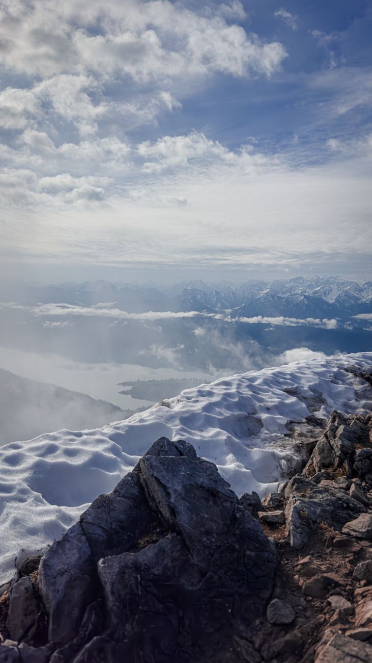
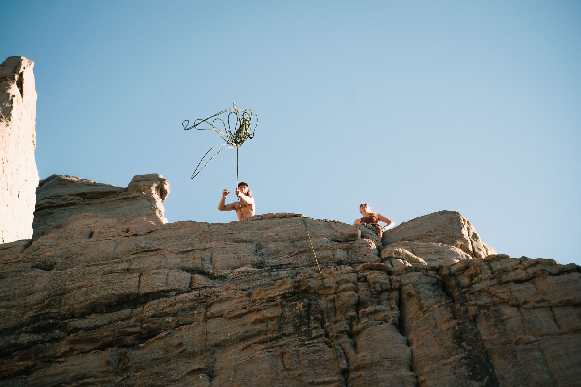
Shot where the air gets thin.
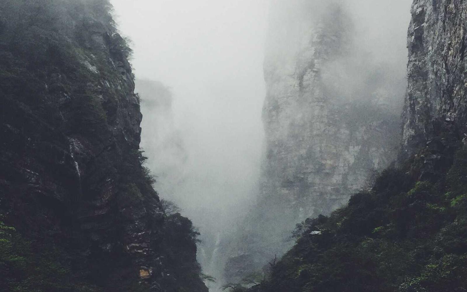
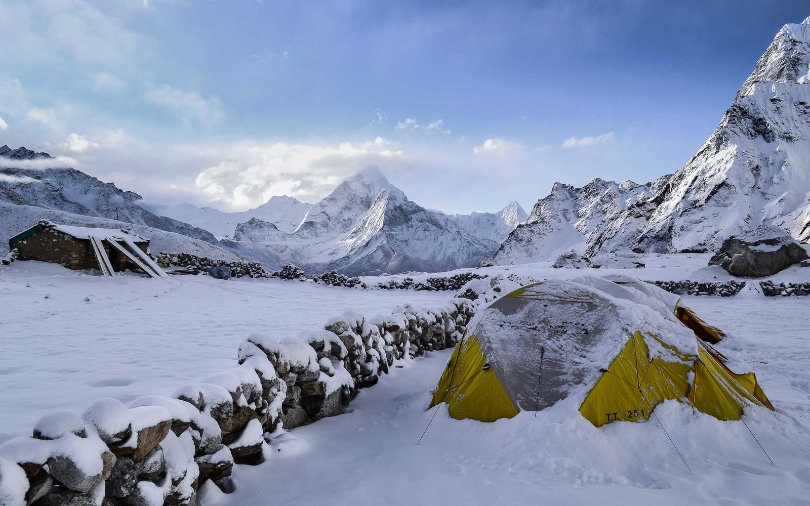

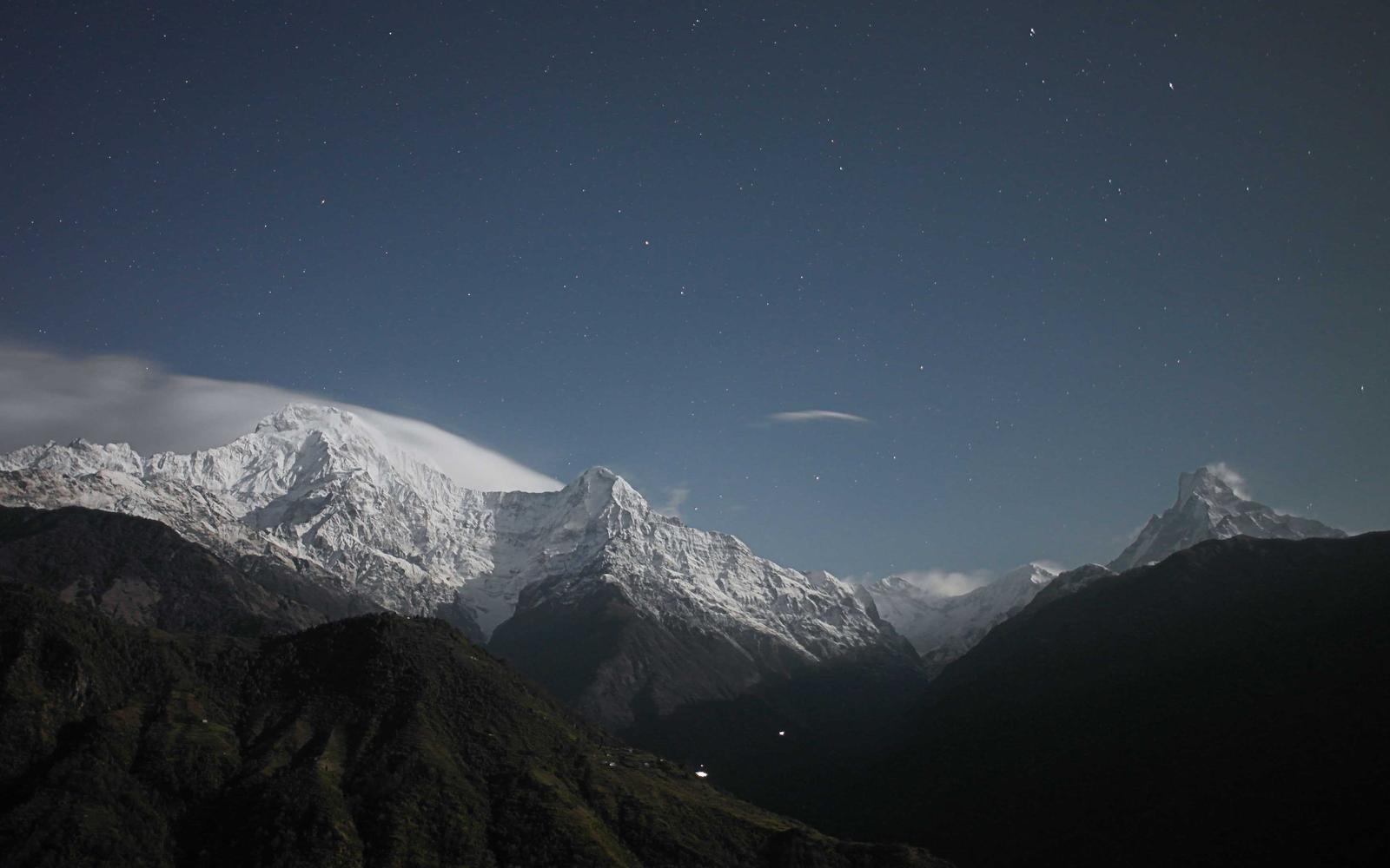
One route, drawn to scale.
This is The Monarch's SE ridge — 1,100 metres of gain, drawn as an elevation profile. Every camp, crux, and summit is where the line says it is.
One pitch, one frame at a time.
The atlas, in miniature.
Mont Blanc Massif
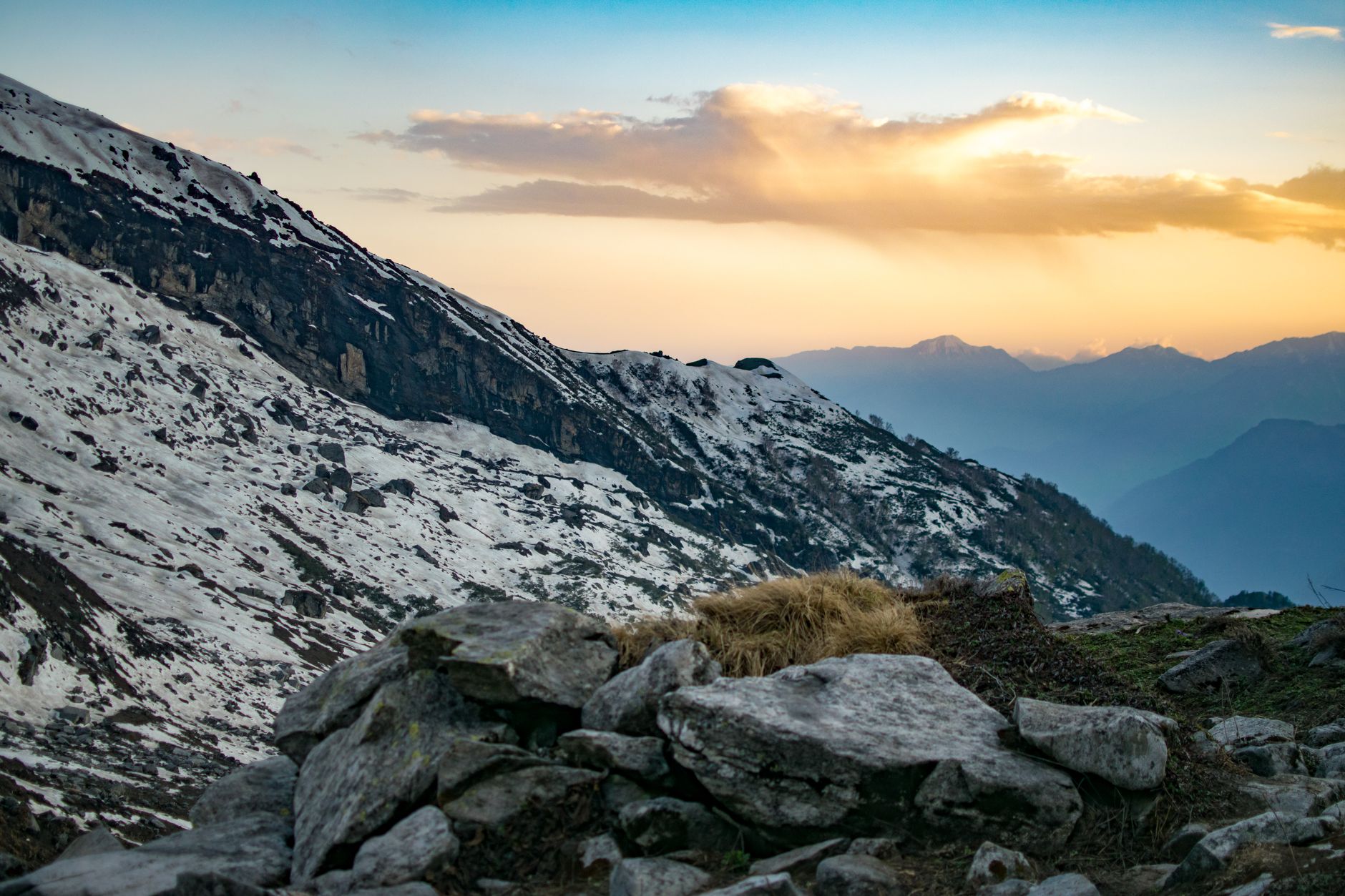
Teton Range

Sierra Crest

Karakoram

I started the atlas after a climb that went wrong on a peak everyone said was "easy" — because the beta we had was ten years out of date and written by someone who'd never actually been up it.
What I learned: a grade is a promise someone else made. A route is a story, told by the people who climbed it, in the order they climbed it. There's a world between them, and that's where alpine lives.
So here's the invitation: pick a peak you've never heard of. Read the route. Then go stand on it — and add your own line to the log.
Live, from our backend.
People who actually stood on top.
"The grade decoder alone is worth it. I stopped getting sandbagged on my first season."
"I planned my whole trip to the Tetons off this site. Every route was exactly as written."
"The snowpack reports are the most current I've found anywhere. It's the first tab I open."
Where we're climbing next.
Peak atlas + skills library + the club, live in beta.
Live condition reports, crowdsourced from the summit log.
Route-finder with GPS tracks you can load straight to your watch.
Expedition matchmaking — find a rope partner for the big one.
the mountain, mapped.